Market:
Construction
Location:
Benoni, Gauteng
Project Objective:
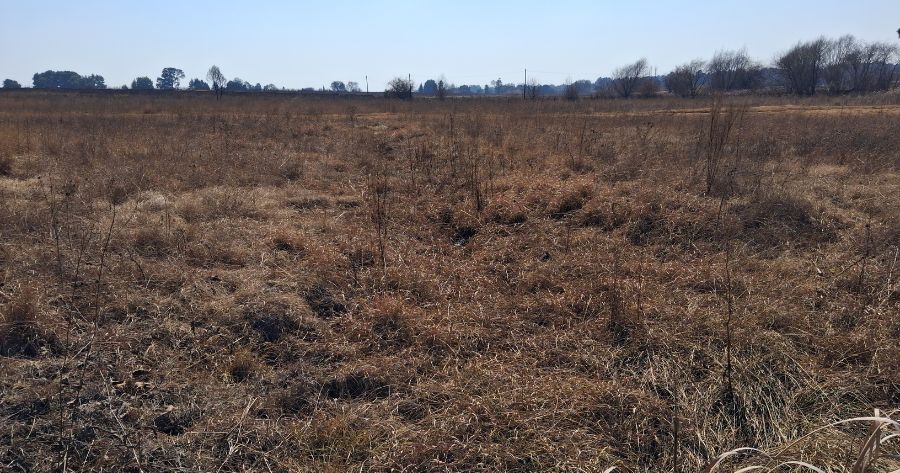
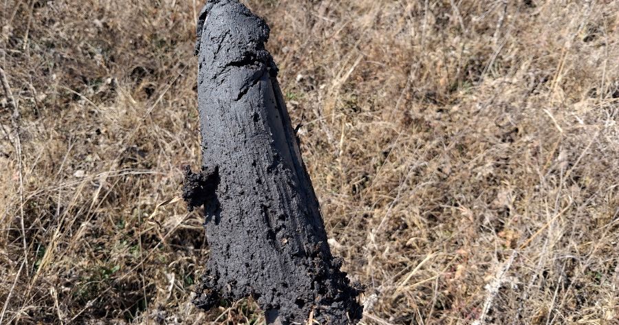
The purpose of this project was to identify and quantify the impact on the flow drivers by the proposed residential development. This was done by determining the hillslope, soil forms and families, modelling the baseline flow patterns and calculating the loss of flow towards the downstream wetlands.
Project Execution Strategy:
This assessment was conducted in terms of Best Practice Guidelines, such as the Hydropedological Assessment Guidelines (Van Tol et al., 2023) and the NEMA EIA Regulations (2014).
Project Key Achievements:
Successfully mapped the project area
Identified the corresponding hydropedological soil groups
Quantified the possible loss of flow
Project Tags:
Hydropedology, Soil, Water Use License, Modelling